Skredderdalen
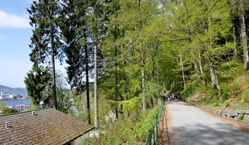
Skredderdalen is a good alternative to Stoltzekleiven for hiking Sandviksfjellet. It is steep in places, but without the intensity of Stoltzekleiven, making it a good option for those who want a challenge without the toughest climb.
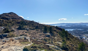
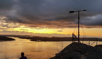
Skredderdalen is a relatively steep trail up to a path that runs between Sandvikspilen (the arrow on top of Sandviksfjellet) and Fløyen.
How to get to the starting point
By bus: Take bus nr. 10 to Mulen, a short walk from the starting point. If you need to use public transport to get into the city centre, search travel options on the Skyss Travel Planner. To start from the city centre, put "Bergen Sentrum" as your starting destination. This is also the best point of departure to receive the most travel options in Skyss. You can also check out our guide to transport in and around Bergen for more information.
By foot: The walk from the city centre to the starting point is relatively easy, taking about 15-20 minutes depending on your pace and stamina. This route starts from Fløibanen’s lower station.
The Hike
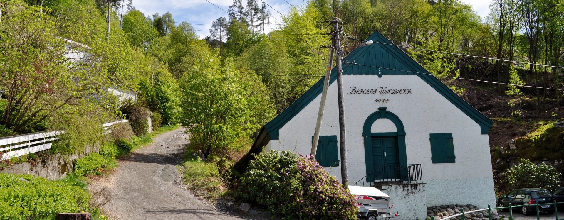
This route suggestion from UT.no is 4.7 km. and includes Fløyen. The trail starts on Fjellveien, next to the white waterwork building ("Bergens Vandverk 1914" is written on the building). Skredderdalen follows a stream called Mulelven, which runs from Storediket (a lake) into Nedrediket (a pond).
Check UT.no's interactive map to search for more options. In order to limit searches to hiking trips, select "fotturer" only. You will also have to zoom in on Bergen in order to search for options. UT.no is a great resource for exploring the mountains in Norway but it is only available in Norwegian. Copy and paste text into a translator, such as Google translate, if necessary.
Safe hiking in Norway
Stay safe and get the most out of hiking in the Norwegian nature.
Need to rent outdoor equipment?
There are places you can rent equipment for free or a small fee.