Hiking to Ulriken
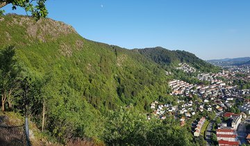
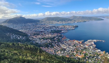
Ulriken is the highest of the seven mountains at 643 meters. It boasts a beautiful view over the Bergen peninsula.
Facts about Ulriken:
- Elevation: 643 meters
- Hike duration: 40-70 min
- Track: hiking trail
- Difficulty level: easy/medium
About Ulriken
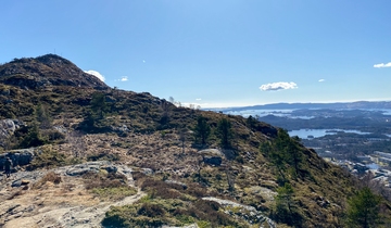
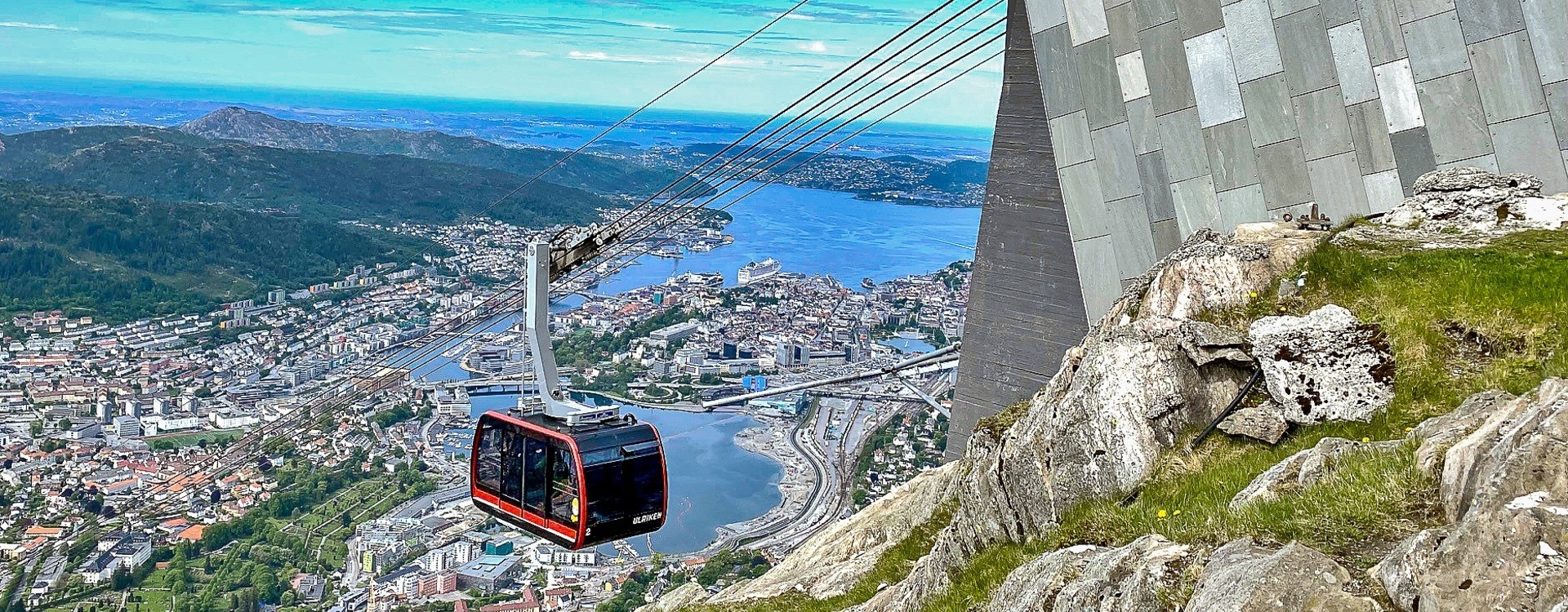
Ulriken (643 m) is a landmark in Bergen. It is famous for its cable car and the characteristic television transmitter tower at its summit. On the top of the mountain, you will find a small shop and a restaurant, as well as panoramic views over the city and the surrounding areas. Ulriken offers many different hiking opportunities, some more challenging than others.
How to get to Ulriken
You can search for the best public transit options for you on the Skyss Travel Planner. Below are some options for traveling from the city centre to the two most common starting points to the top of Ulriken.
Starting point: Haukeland University Hospital:
- By foot: Walking from Torgallmenningen to Haukeland will take approximately 45 minutes.
- By bus: Take public transport to Haukeland University Hospital, then follow the signs toward Ulriksbanen cable car. The trail follows the cable car route at first.
- By cable car: Feeling lazy or just not up for steep hiking? You can always take the cable car to the top and skip the first part. Note the additional charge on the cable car.
Starting point: Montana:
- By foot: Walking from the city center to Montana will takes around 60 minutes.
- By bus: Alternativly take the bus to the Montana bus stop. From Montana youth hostel, you can follow the trail, which splits into several signposted paths of varying difficulty. "Oppstemten" is the most common route, with 1,300 steps and a 290-metre climb.
Parking close to Ulriken trailhead:
- If you travel by car, you can park at Montana Vandrehjem or in Haukeland hospital’s parking garage (weekends only). Note that these come with additional charges.
The Hike to Ulriken
-
From Haukeland: Starting behind Haukeland University Hospital by Ulriksbanen cable car, this route follows the path of the cable car. It is steep and challenging, taking up to 90 min depending on your stamina.
-
From Montana: Try the Montana - Skiveien - Ulriken route (3.5 km). Estimated time is about 40 - 90 minutes, depending on the trail you choose and your stamina.
Hiking opportunities from Ulriken
If you want to shorten the hike and enjoy the cable car up to Ulriken, you can start at the top and hike along Vidden, Nubben, or even toward mount Fløyen. For a longer hike, you can combine the hike to the top with one of these routes:
Vidden - The Bergen Mountain Plateau
- One of the most popular hikes in the City Mountains. You can hike from Ulriken via Rundemanen to Fløyen, or start from Fløyen and walk the route in reverse. The trail is mostly flat, with stunning views of the city along the way. It is a long hike, and not suitable in bad weather.
Nubben - Mountain Lake
- Walking down from Ulriken, follow the trail known as Korketrekkeren southward for a few hundred meters to reach Nubben, a popular swimming lake in summer. The Baune cabin by the lake is open every Sunday and sells waffles.
Safe hiking in Norway
Stay safe and get the most out of hiking in the Norwegian nature.
Need to rent outdoor equipment?
There are places you can rent equipment for free or a small fee.