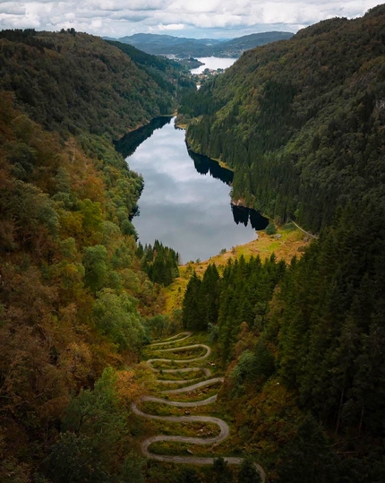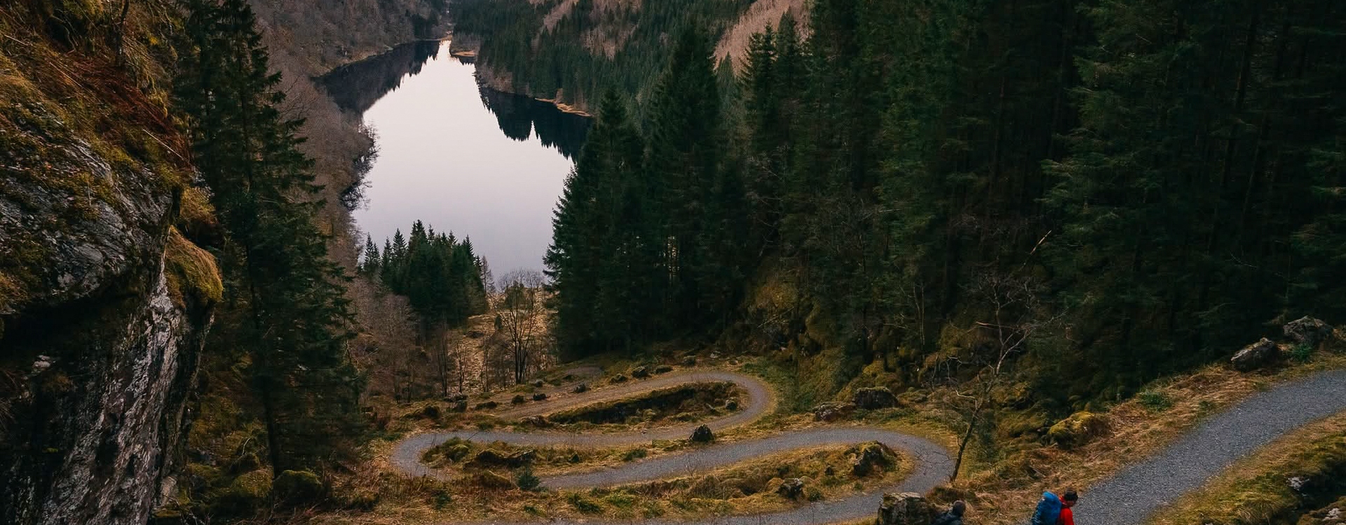
Hiking up Kossdalssvingane on Osterøy
Visit a national heritage site and enjoy beautiful scenery at the same time. Kossdalssvingane, the historic hairpin bends on Osterøy, give you the peace and quiet you need after a long week.
Facts about the hike
- Hike length: 6.3 km (round trip)
- Time: approx. 1-1.5 hours
- Where: Osterøy, Norway’s largest inland saltwater island
- Built: Between 1889-1893
- Number of bends: 17
- Max incline: 27 %
A short hike takes you to one of Western Norway's most spectacular heritage sites: the 17 hairpin bends in Kossdalen on Osterøy.
Routes to Kossdalssvingane
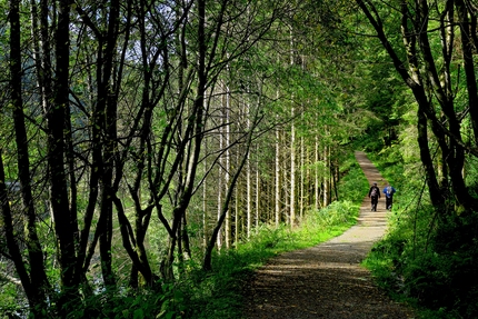
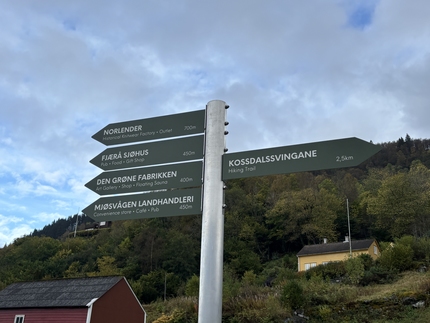
From the Hosanger bus stop, follow Kossdalsvegen towards the Montessori school and continue along the road into the valley. The route to Kossdalen is signposted and easy to follow, partly on gravel and partly on asphalt. You can take either Tveitavegen or Kossdalsvegen to Kossdalssvingane. The distance is the same, and both end at the foot of the bends. If you choose Tveitavegen, remember to turn right just before the cluster of houses, otherwise you will end up heading towards Tveitafjellet (which is also a nice hike described on UT.no). The easiest way is to use Holevatnet as a landmark as you head into the valley. On the way up Kossdalssvingane, you can take in the views and the 19th-century engineering. At the top, you get a stunning view down the valley you just came from.
You can walk back the same way or continue to Fitje skule to catch a bus to Bergen, as there are more departures from there than from Hosanger. Just follow Svenheimsvegen down to the main road, about 1.4 km. Alternatively, you can walk all the way to Osterøy Town hall for even more departures, but this road is 3.7 km long and has no sidewalks, so watch out for traffic!
How to get to Kossdalssvingane
By public transport: Take the local train from Bergen station towards Arna (7 minutes). Change to the bus towards Lonevåg. At Lonevåg terminal, change to the bus towards Fotlandsvåg and get off at Hosanger bus stop. From there it takes about 9 minutes to walk to the start. Plan your trip at skyss.no, as departures on this route are limited. The journey takes about 1 hour and 10 minutes, depending on traffic.
By car: The drive from Bergen city centre takes about 50 minutes, crossing the Osterøy bridge. You can drive all the way to the start of the hike. Park near Hosanger Montessori School, where there is municipal parking for hikers
Other hikes near Kossdalssvingane
Tveitafjellet
This hike starts at the same place as the one to Kossdalssvingane, but you follow Tveitavegen all the way to house number 232. The ascent to the summit starts there, along a marked trail. The hike is 3 km one way, and the trail is well marked and relatively easy to walk.
Facts about the hike:
- Elevation: 556 m above sea level
- Distance: 6 km round trip
- Max incline: 28 %